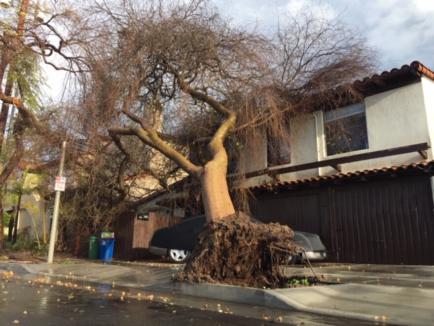
As predicted, a storm system brought some heavy rainfall to the Central and South Coasts, but the region’s brush fire burn zones has made it through the rain without serious problems. But, there is some continuing concern about the potential threat from thunderstorms.
Rainfall in the Thomas, Hill, and Woolsey Fire burn zones ranged from around a quarter of an inch of rain to around two inches. Unstable air could create thunderstorms, and showers until tomorrow, but meteorologists belive any heavy rainfall would move through the area so fast that flooding, or debris flow issues aren’t anticipated. There are no flash flood watches, or warnings in effect for the South Coast.
However, the Santa Barbara County Office Of Emergency Management cautions thunderstorms are unpredictable. Officials say if you are in a potentially flood prone area, you should not wait for a warning, but move to a safer area on higher ground, or upper floor of a multi-story home.
The Central Coast has the highest rainfall totals, with more than two inches in San Luis Obispo, and an inch in Pismo Beach. On the South Coast, Santa Barbara had 2.4” of rain, Montecito 2.3”, Ojai 1.7”, Oak View 1.4” and Agoura Hills a quarter of an inch of rain.


